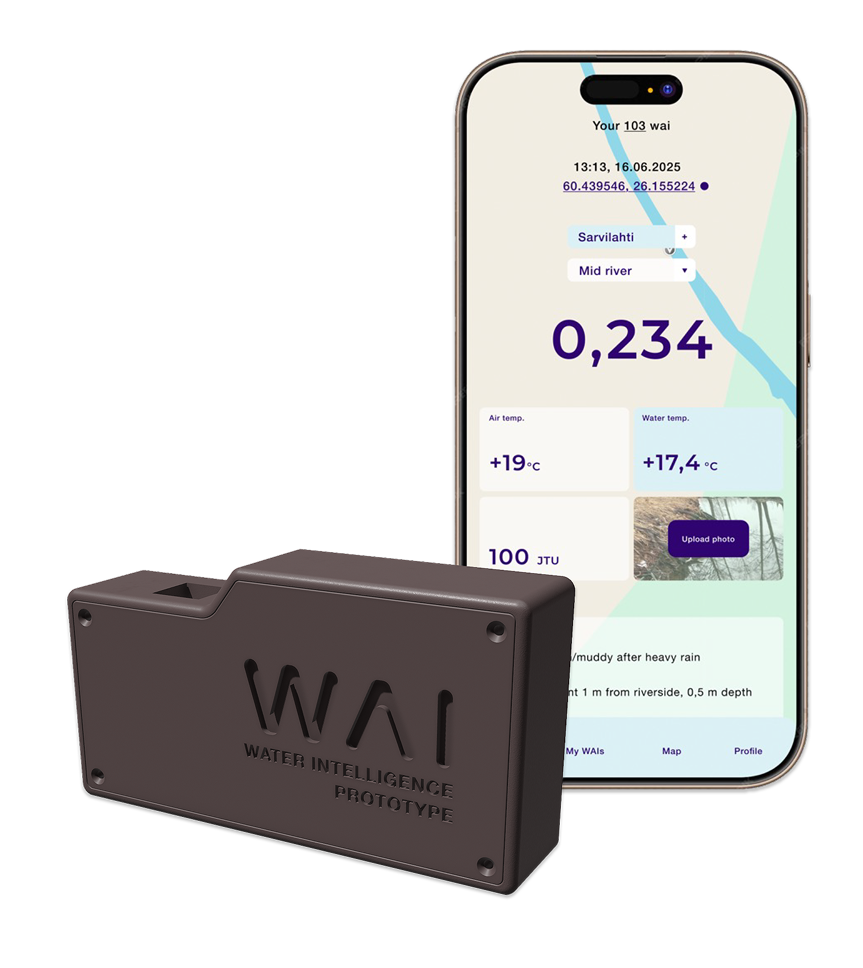
“Waiing” is a breakthrough concept for large-scale, high-quality in-situ nutrient data collection, built as a continuously evolving digital system where calibration, analysis methods, and data processing are all defined in code.
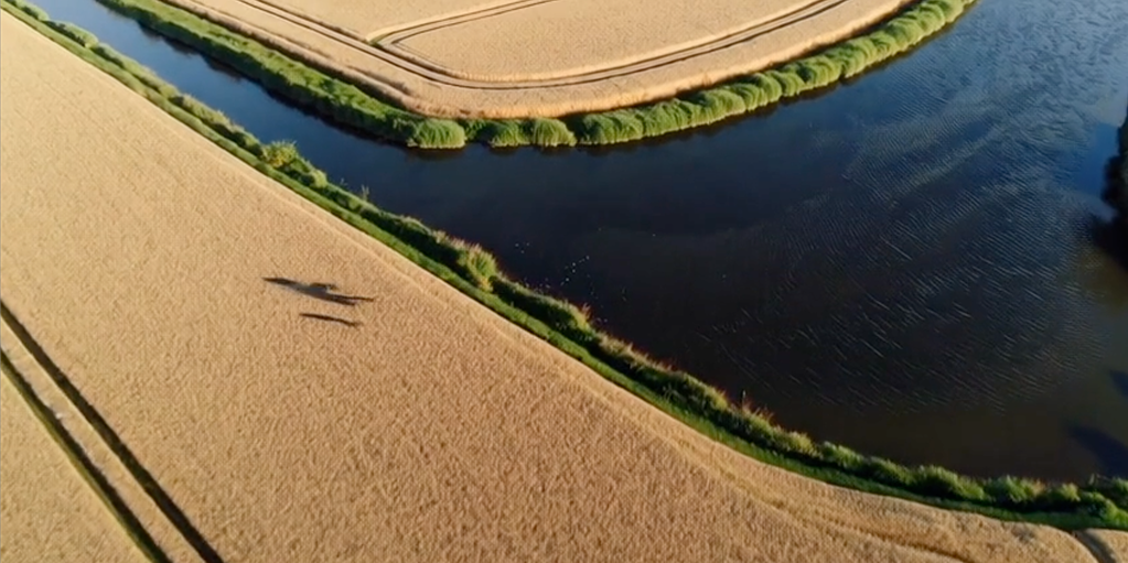
We start by measuring phosphate and nitrate – the key nutrients driving eutrophication – directly in the field, where runoff occurs.